High-precision measurements from space
How is our atmosphere changing? Where is sea level rising and how much? Nowadays, nanosatellites can contribute significantly to answering such questions. The positioning technology developed for this purpose at ETH Zurich also has industrial applications.

In this interview, Prof. Markus Rothacher gives an insight into his team's latest space missions.
Why is it necessary to measure the Earth with millimetre precision?
A high-precision global reference system is central to many issues. Only with a millimetre-precise origin of the coordinate system can we determine how masses are moving. Where is sea level rising? Where do landmasses sink? Today, there are still great inaccuracies in such statements.
What new approach are you pursuing at your Institute of Geodesy and Photogrammetry?
Thanks to advances in miniaturization, we can now build small, inexpensive satellites. Unlike conventional satellites, these so-called nanosatellites are affordable and can be deployed as a swarm. As a result, the Earth can be observed more seamlessly. However, this only works if the nanosatellites always know exactly where they are.
Determining the position of satellites has been an expensive undertaking, hasn't it?
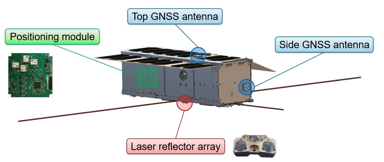
A space-qualified receiver for positioning used to cost half a million dollars 10 years ago. We have now developed a solution for under 100 CHF. We use low-cost GNSS receivers from the ETH spin-off u blox. Our team has made this receiver fit for space and built a high-performance positioning module. Weighing only 100 grams and using 100 milliwatts of power, we can determine the satellite trajectory to within 3-5 meters in real-time.
Have the modules survived their first test in space?
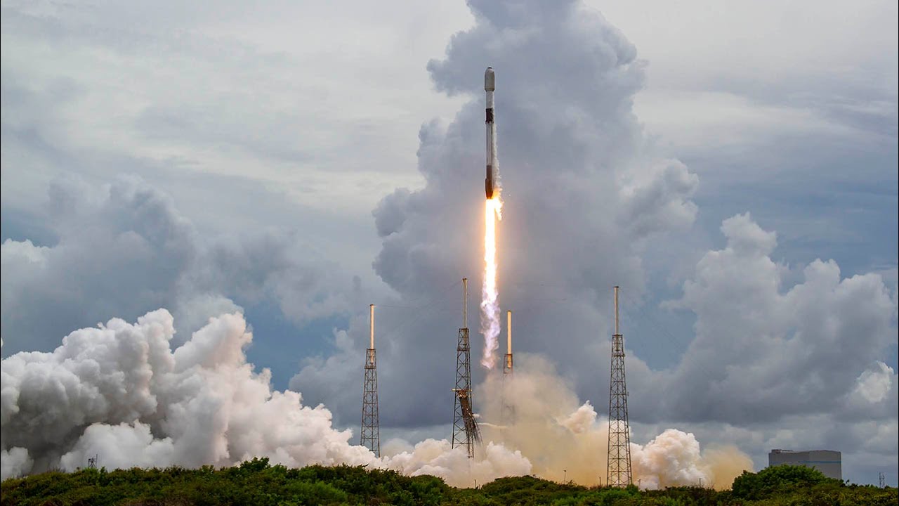
The first two demonstrator modules were launched into space in December 2018 and April 2019, and another five per launch were deployed in January 2021 and now at the end of June with SpaceX, Elon Musk's space company. The modules are working very well and we have already analysed a wealth of data. We are now building the next generation of positioning modules, which will then go into space next year.
How will the next generation of positioning modules be different?
The new modules will be able to receive not one, but two frequencies, which will increase the accuracy significantly. We will be able to extract interesting information from the delay of the GNSS signals in the atmosphere. This makes new applications possible, such as water vapour monitoring or the observation of solar activity and space weather.
For which industrial applications is this technology interesting?
Communication between networked things is of great importance in many areas, for example in shipping fleets or in agriculture. Nanosatellites are ideal for such IoT applications because they can transmit small amounts of data from anywhere in the world. We are working with a company called Astrocast that is developing a satellite-based IoT system. Over the next 3 years, a constellation of approximately 80 satellites will be set up in space. This is unique and will not only enable industrial applications, but will also provide our team at ETH with scientific insights into processes in the Earth system.
Contact/Links:
Prof. Markus Rothacher, Institute of Geodesy and Photogrammetry
Do you want to get more "News for Industry" stories?
external pageSubscribe to our newsletter
external pageFollow us on LinkedIn
Are you looking for research partners at ETH Zurich?
Contact ETH Industry Relations